ENVIRONMENT / JUNE 2023
How a Military Base Became a Safe Haven for Endangered Species
Tank treads tearing up the earth and planned fires are the kind of short-lived destruction that mimics much-needed natural cycles for all matter of wildlife
BY SARAH MUSGRAVE
PHOTOGRAPHY BY EAMON MAC MAHON
Published 6:30, Jul. 7, 2023
I’m walking through a stand of jack pines. The sun has just come out, and behind me, I can hear the footsteps of two wildlife researchers crunching over the undergrowth. This scruffy forest is home to one of the rarest songbirds in North America, and we’ve come to see where it nests.
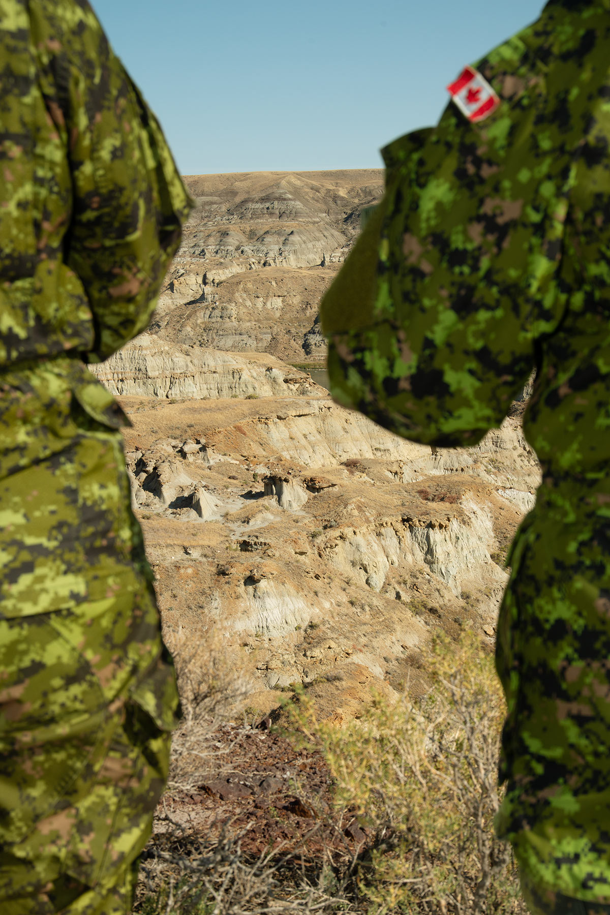
“Kirtland’s warblers have backed themselves into a bit of an evolutionary corner,” Matt Cybulski tells me. “At one point, this was the only place in Canada you could find them.” As he speaks, machine guns crackle in the background, a blunt reminder that we’re not walking through a nature sanctuary or a national park but an army base.
Once numbering fewer than 200 pairs worldwide, Kirtland’s warblers return each spring from the Bahamas to Garrison Petawawa, this busy military training ground in the Ottawa Valley. A biologist in the base’s environmental office, Cybulski is tasked with looking after local wildlife, including federally listed species at risk and the fragile ecosystems that support them. The warblers’ breeding grounds here are off limits for training exercises, he explains. And once the team locates a nest, they’ll also impose a 200-metre buffer to prevent personnel from walking in the area.
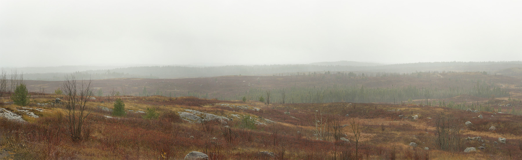
Cybulski makes a point of handing me a pine cone. It’s so rock hard, it may as well be fossilized—which explains why the jack pine needs the intense heat of a forest fire to release its seeds. In turn, Kirtland’s warblers need young jack pines to nest beneath, and they’re fussy about finding trees five to twenty feet tall. Following a blaze in 2012, caused by a lightning strike, these scrublands have regrown into prime warbler real estate. If I’m not allowed to reveal the precise location, it’s not because it’s classified military information (though it is) but because people have been known to trespass to lay eyes on those grey and yellow feathers. “A unicorn species for birders,” Cybulski says, eyes twinkling under his baseball cap.
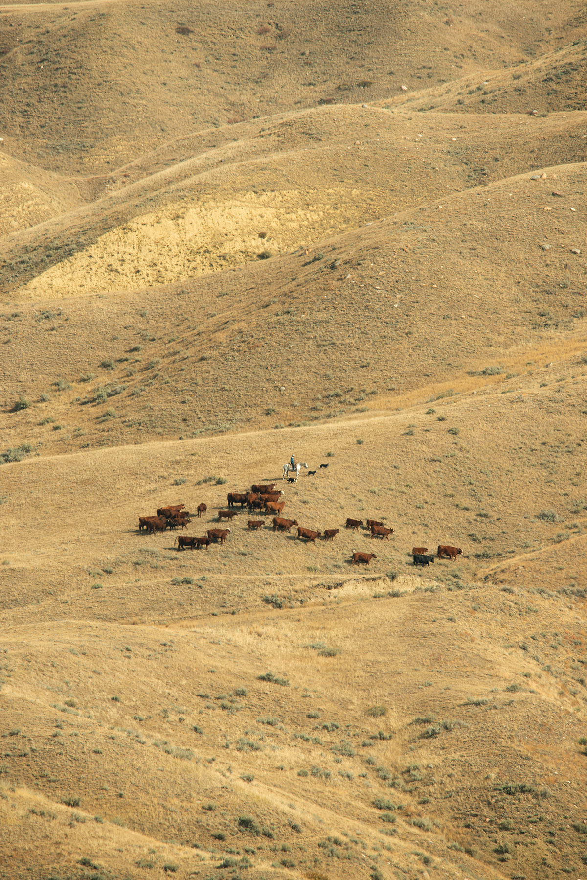
Scenes like this are playing out at Canadian Forces bases nationwide. With tens of thousands of square kilometres at its disposal, the Department of National Defence is one of the largest federal landowners after Parks Canada. With expanses of forest, grassland, and coastline maintained as naturalized training areas, plus restrictions on public access and development, these properties have become a haven for everything from threatened wood turtles to free-roaming herds of pronghorn to Garry oaks.
As counterintuitive as it sounds, the regime of disturbances associated with military training creates prime conditions for certain species. Tank treads tearing up the earth, bombs leaving craters, and planned fires for vegetation management are the kind of short-lived destruction that mimics much-needed natural cycles. Military operations—and certainly wars—are damaging to landscapes. But the DND has, quietly and inadvertently, become an unlikely steward for ecological preservation.
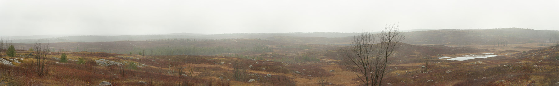
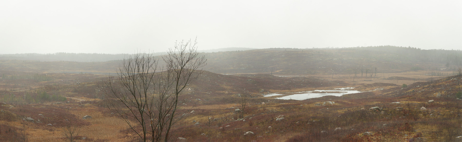
Garrison Petawawa looks like a classic wilderness postcard. It’s situated right next to Algonquin Provincial Park, in a transition zone between the boreal forest and the Great Lakes–St. Lawrence forest. A network of bumpy roads passes dappled woods, breaching ranges, and barracks, wending through sandy plains left over from the last glacial melt.
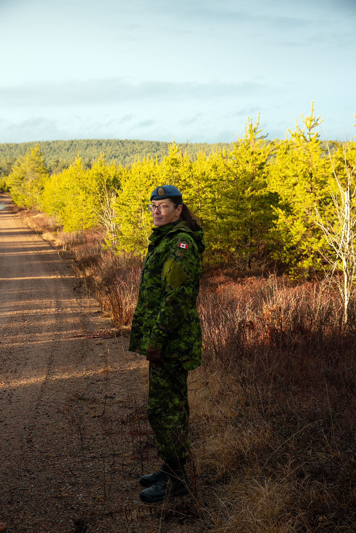
It’s also one of the busiest operational bases in Canada. Petawawa counts 6,000 personnel, including the 4th Canadian Division Support Group and the 2 Canadian Mechanized Brigade Group as well as civilians like the eight-person environmental team. In addition to a wildlife biologist, the team includes a contaminant management specialist and technicians who conduct field work and data analysis for environmental impact assessments, monitoring, and regulatory reporting. Garrison Petawawa dates back to 1905, so, environment officer Michelle Perry tells me, there’s a lot of “historical stuff” lying about—stuff like unexploded ordnances. The team traces metals, like naturally occurring and human-introduced aluminum, and installs filters to prevent ammonium perchlorate, a chemical compound found in munitions, from leaching into the ground or being carried off by waterways. “Deconflicting” is a big word around here.
With the range of modern artillery reaching farther and farther, Petawawa’s 300 square kilometres are a tight fit for balancing training and environmental objectives. Activities are tightly templated, and radio check-ins are frequent. Some days, Cybulski says, he can’t get out in the field at all. At other times, he may stumble upon soldiers in camouflage. “Or, sometimes, we’re working and there’s helicopters sending down ropes for troops, like a movie,” he says.
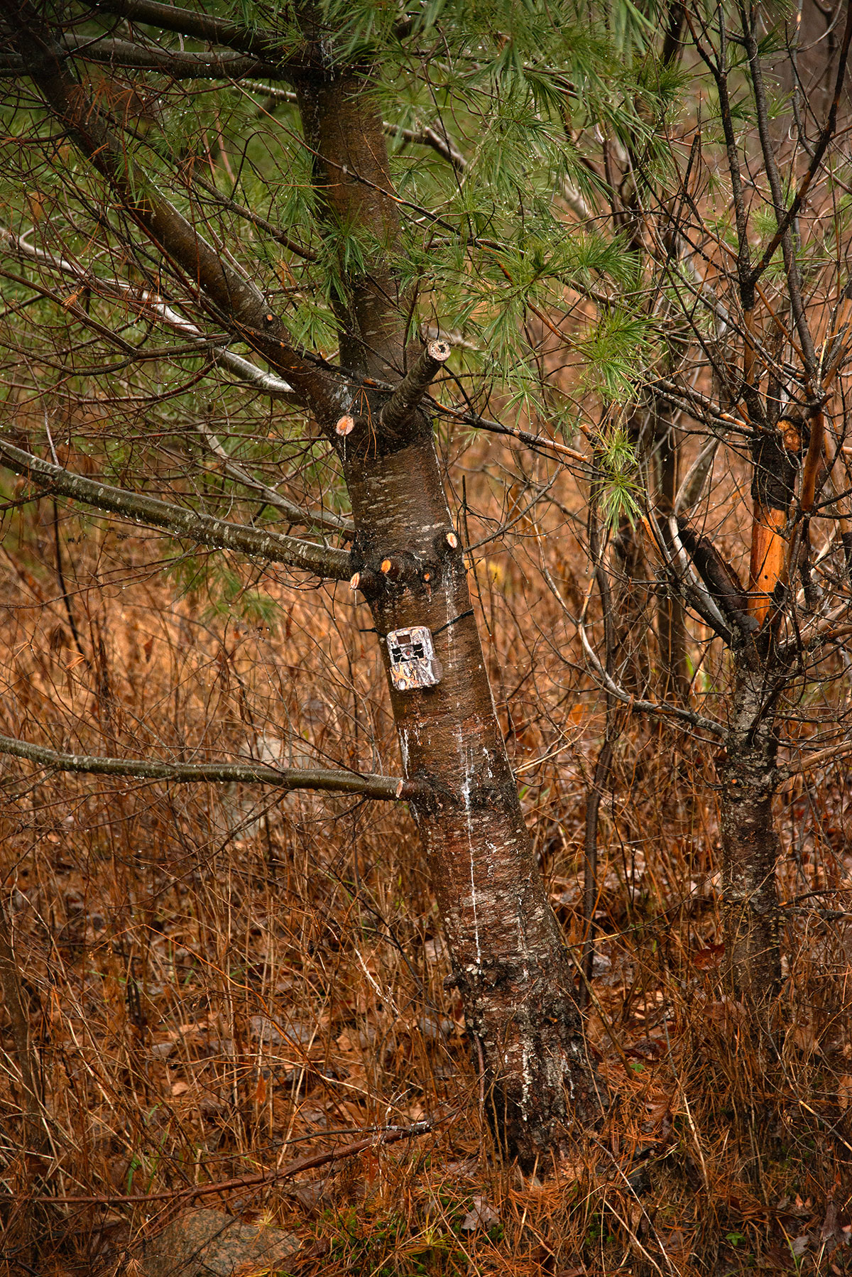
Cybulski recounts how he grew up nearby, hearing explosions but never really guessing at the natural bounty behind the base’s gates. “It’s such a unique place to work because of this amazing landscape and the juxtaposition with all the hazards of active training,” he says as his colleague shows me a bioacoustic recorder (“our remote eyes and ears” for field work) that had been mangled by shrapnel.
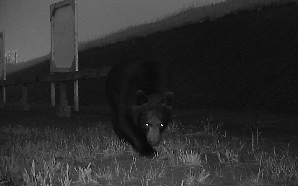
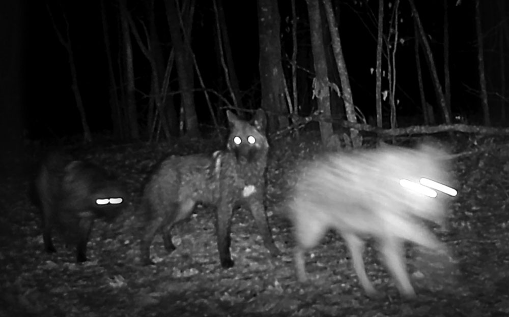
They cue up a highlight reel from one of the many trail cams. It starts with “moose ASMR” (mostly heavy breathing near the camera), followed by footage of an intersection where military vehicles zip around by day and wolf pups trot by after dark, outlines glowing. Without the threat of hunting and trapping, and thanks to the fifty-kilometre speed limits, wolves do well on the base. So, too, do whip-poor-wills, precisely because of the edge habitat created in impact areas and by fires prescribed to create the open areas required for training. “Most species at risk tend to be in higher numbers here. The base seems to act as a protective area—that’s our hypothesis,” Cybulski says. “The dynamic just works here.”
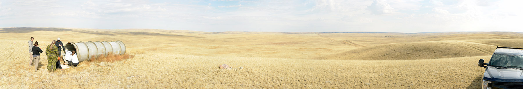
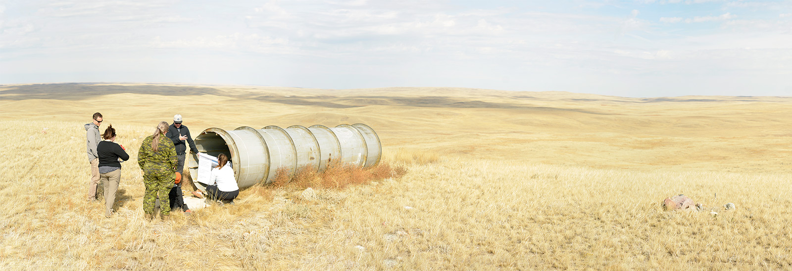
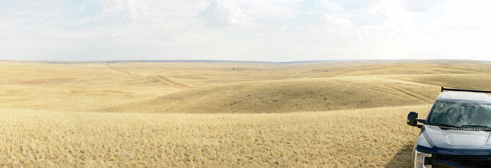
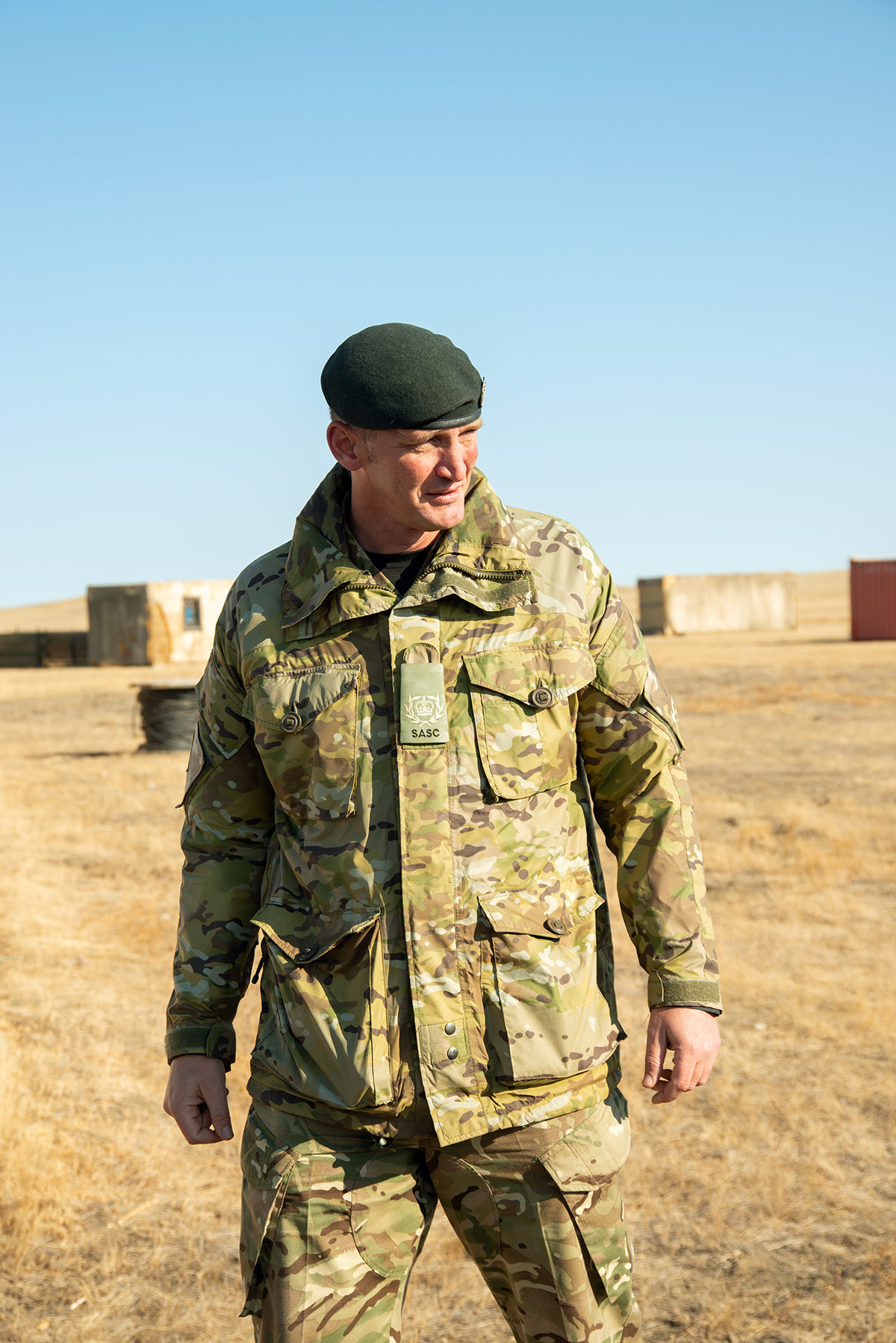
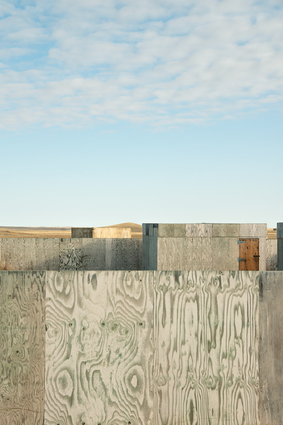
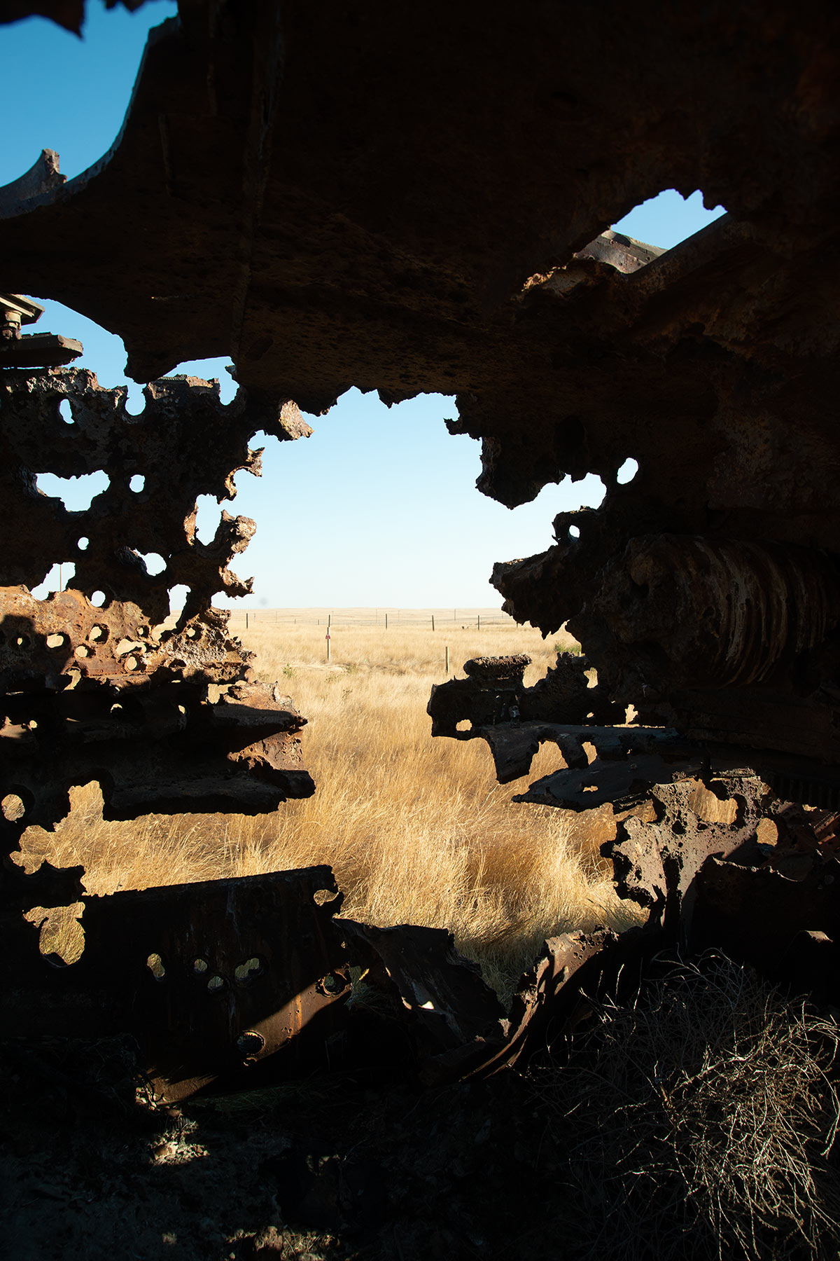
If there’s one poster base for considering the environmental value of Canada’s military lands, it’s CFB Suffield. To say it’s vast doesn’t even cover it. Sprawling over 2,691 square kilometres in southern Alberta, it’s the largest military base in the country, about half the size of Prince Edward Island. On approach, visitors pass the white-picket-fence Crown village of Ralston, replete with prefabricated houses for army personnel and a gas station that sells imported marmalade and shortbread to the members of the British Army Training Unit Suffield (BATUS) stationed here. Anyone stumbling around the perimeter might note all the danger signs (“Keep out, there are bombs inside, they can kill you”) or wonder what the scientists in the Defence Research and Development Canada building are testing out on the Experimental Proving Ground.
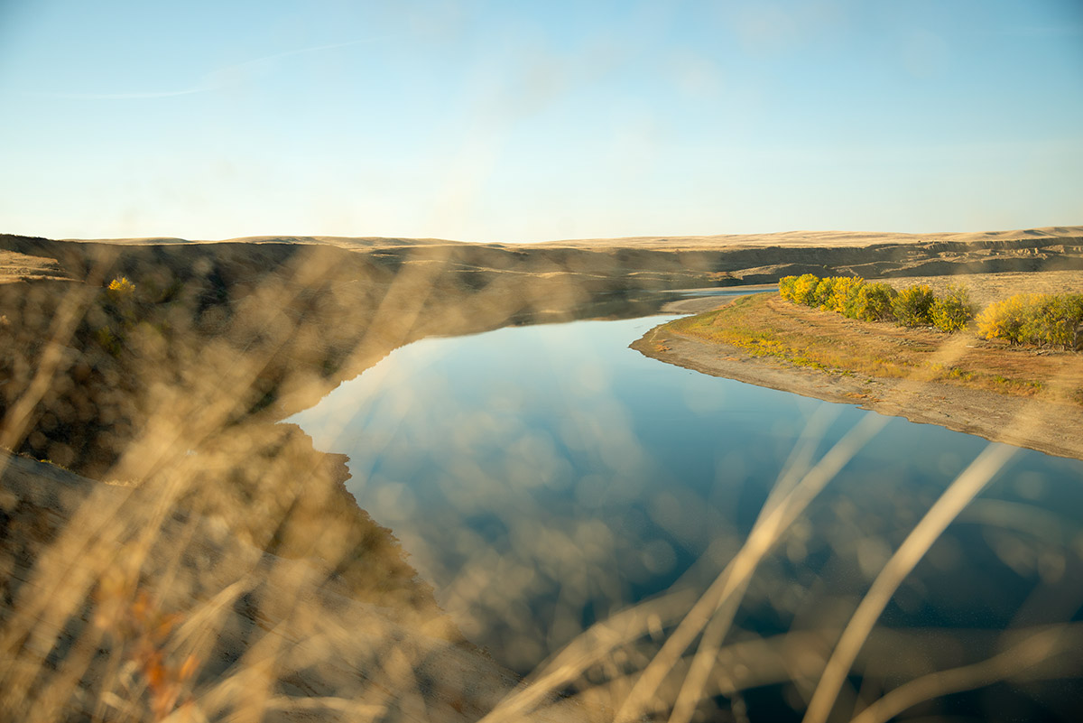
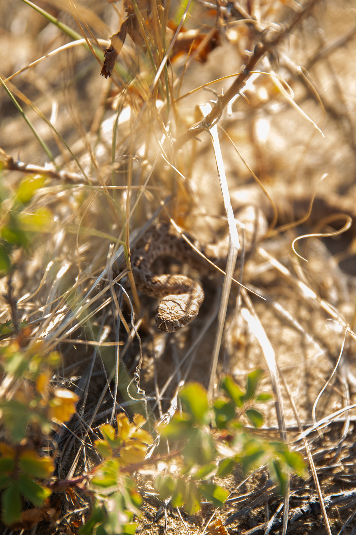
From the outside, Suffield looks like any other no-go zone. But it’s got one of the biggest blocks of non-commercially developed mixed grassland left in the country. Due to human activity, agriculture, and resource extraction, native prairie is harder and harder to find. What’s so special about Suffield is that part of it—458 square kilometres on the eastern side—was designated a national wildlife area (NWA) in 2003. There are now fifty-seven such federal lands set aside for conservation, research, and interpretation, and this is the only one managed by the DND rather than Environment and Climate Change Canada. As a refuge for at least 1,100 plant and animal species and thirty species at risk—burrowing owls, Ord’s kangaroo rats, prairie rattlesnakes, Sprague’s pipit—in terms of biodiversity, there’s nothing comparable at this latitude; any larger national parks are way further north.
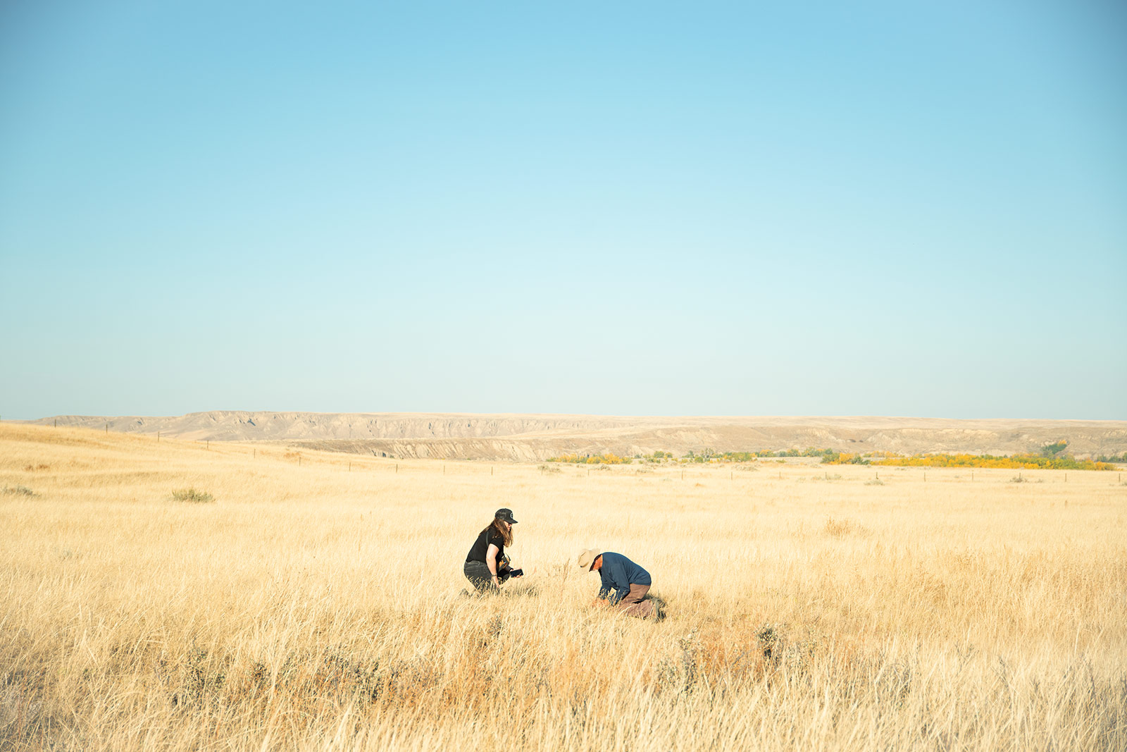
“When I say I work on a military base, people are surprised it’s a wildlife-related job,” says lead range biologist Amy Moores, greeting me at the single-storey Range Sustainability Section office. This week, she’s on a high from successfully relocating a ferruginous hawk’s nest from near a power pole to an artificial nest platform, mitigating the chance of electrocution. These hawks would have once nested in bison bones; prairie birds make do.
Bison, fire, erosion, and storms are the story of this ecosystem. Massive herds of ungulates used to tromp around, ripping the ground to bits, giving the land what it needed. Today, army operations reflect some aspect of that evolution. Off-road trafficking and controlled fires tear things up, resulting in different heights of vegetation and quantities of litter that create different habitats. “By creating some heterogeneity, you’re benefiting multiple species,” Moores says. For example, Ord’s kangaroo rats—springy, long-tailed rodents—need open, sandy conditions for their burrows, and they’re part of the food chain for raptors and snakes. The sparrow-like McCown’s longspur also needs the kind of sparsely vegetated areas that can result from regular troop manoeuvres. “We’re almost tripping over them in summer,” Moores says, noting that some species actually do better in the active manoeuvre training areas than they do in the protected NWA.
Knowing how much disturbance is enough seems like both an art and a science. At his desk, Ben McWilliams shows me how a Geographic Information System and remote sensing are used to monitor a base of this size. Different colours on his digitized map represent different densities of vegetation, and each pixel has a rating value of healthy to not healthy. With the approval of the base commander, fires are set along established roads to create a wider swath with low vegetation; researchers do some prescribed burns in the NWA to destabilize the dunes and get them back to the active, open state that dusky dune moths, k-rats, and certain plants need. “We don’t want to unfairly assess fire damage, because burns can be healthy,” he notes.
Colour-coded heat maps like these are key tools for communicating range health concerns to base commanders, who rotate out every couple of years. The thirteen-member team’s recommendations could be spatial (using a new access road to a training site to give the land time to recover) or temporal (during mating season, avoiding sharp-tailed grouse mating grounds called leks—“nightclubs for dancing,” McWilliams explains). It can be more cost effective for the military to rejig a location or reschedule an activity than to push an area past the point of no return. For the army to create realism in training, it needs to maintain vegetation. Once a spot becomes a dust bowl, it’s almost impossible to get it back. The shared goal is to promote natural recovery instead of active reclamation: prairie, heal thyself.
That sounds simple enough, but Suffield’s full land-management matrix is a head-exploding emoji waiting to happen. Visualize the back of your hands. The skin represents the thin layer of fragile prairie topsoil. We’re talking centimetres thin. Any blemishes are buffer zones for species at risk. Your knuckles are army infrastructure: some nineteen villages and 800 other training assets belonging to the Canadian Armed Forces, but mostly to the British army, the main tenants since 1972. Give some room to the NWA, which comes with its own set of regulations and prohibition on active training. And put aside an area for defence research. This is also cattle country, so overlay some fleshy areas for grazers moving livestock around different pastures. Finally, underneath it all are veins, purple squiggles representing approximately 7,000 kilometres of below-ground oil-and-gas lines and 12,000 wells. (The provincial government owns the mineral rights, the federal government manages the surface—it’s complicated.)
And with all these overlapping purposes—potentially at cross purposes—come different pieces of legislation: the National Defence Act, Species at Risk Act, Canada Wildlife Act, Soil Conservation Act, Migratory Birds Convention Act, to name just some. The biggest challenge for everyone on base is respecting the primary mandate of the base as a place for training while ensuring all the regulations and external interests are met.
Prairie is a big-picture landscape. Shadows from passing clouds play over wide flats. The vistas are so timeless that when I discover old dinosaur bones, Moores nonchalantly mutters “probably hadrosaur.” Expertly avoiding tank ruts, our truck careens past the occasional cottonwood tree, burnt vehicle, or odd pile of rocks. Could they be a tipi ring or the foundations from homesteaders in the 1930s? “Maybe. Or bored soldiers,” someone offers.
As we enter one of the training villages, two great horned owls flutter past and disappear. The walled compound is eerie and silent. Tumbleweed has accumulated in the corners, and there are narrow passageways that seem perfect for ambushes. The level of staging is mind blowing: I come across fake meats on spits and fake cartons of eggs to display on fake market stalls. (It brings to mind Roger Ebert’s movie trope: if there’s a food cart, it will be overturned during a chase scene.)
I was told that, during some training exercises, the sounds of music and talking, the smells of cooking and spices are all piped in. It sounds like LARPer-level simulation, but apparently, contextualization helps when preparing troops for duty. In more permanent structures like these, small tweaks make a big difference to wildlife management. BATUS has a dedicated prairie infrastructure team to keep these facilities in communication with the environmental team. Doors and windows? Ensure no barn swallows are nesting inside before sealing them closed.
The army’s primary mission is training soldiers. It hasn’t exactly been trumpeting what it’s doing to protect biodiversity. But a widespread prise de conscience about the natural world occurred after the ravages of the Cold War, further spurred by the 2008 Federal Sustainable Development Act, and, more recently, Canada’s commitment to the International Union for Conservation of Nature. The first army environmental officers here were established in the 1990s; the DND’s environmental branches have now expanded to some 180 employees. And all Canadian Armed Forces members participate in species-at-risk training and are expected to practise due diligence to prevent harming these animals or their critical habitat. With the blessing of base commanders, environmental units have been installing open-bottom culverts to provide safe passage for fish at CFB Gagetown, New Brunswick, reintroducing foxes at CFB Valcartier, Quebec, and releasing teensy burrowing owls in collaboration with the Calgary Zoo at Suffield.
“It’s a paradox, all this biodiversity on military lands,” says former DND biologist Delaney Boyd, who was instrumental in establishing Suffield’s environmental program. Boyd has extensively researched long-standing links between geopolitics and biodiversity. She points to the rich wilderness of the demilitarized zone between North and South Korea, the lush European Green Belt (previously the east–west dividing line known as the Iron Curtain Trail), and how Lewis and Clark observed flourishing natural areas between warring Indigenous groups in the early 1800s. She thinks it’s time to more fully integrate Canada’s military training lands into the national conservation agenda. With 100,000 square kilometres of land used by armed forces globally, countries are taking stock as they seek to meet international targets. Canada, for one, has committed to conserving 25 percent of its lands and oceans by 2025 and 30 percent by 2030.
One marker in the march toward that deadline is a relatively new designation known as OECM, or other effective area-based conservation measures. It recognizes places whose primary purpose is not conservation but where long-term protection of ecosystems, habitats, and species is nevertheless working. (Add it to our system of various NWAs, national and provincial parks, Indigenous-managed conservation areas, and private refuges—one thing that’s not endangered in all this is acronyms.) In March 2019, a large portion of CFB Shilo in Manitoba was declared Canada’s first OECM, though a wider push hasn’t yet gained traction. However, a DND spokesperson did say that “as part of the Greening Government Strategy objectives, the department will be examining other areas within other bases, wings or formations that may meet OECM criteria.”
On one of my days at Suffield, Moores takes me to meet rare-plant researchers Ron and Cathy Linowski. Grasslands are a lot of “same-same” until you look more closely, and it all goes from macro to micro pretty fast. “We speak botanical,” they joke, tossing out Latin names while we amble along river banks, sand dunes, and tufty hills. It’s not just “grass”: it’s eyebrow grass (blue grama), prairie wool (rough fescue), and needle-and-thread grass, which glints in the sunlight. There’s also crested wheatgrass, first introduced, in part, to feed livestock but which seems to be in the process of dominating the native species.
They show me small-flowered sand verbena, smooth goosefoot, wormwood (a key compound in absinthe), and even some delicious prairie cactus. My personal favourite: skeleton weed, which does photosynthesis with its stem because it has no leaves. But the rarest of the rare is tiny cryptanthe, a bristly annual that only occurs within a few kilometres of water and needs periodically disturbed soil to germinate. “You’re looking at a plant that only twenty people have seen,” Ron estimates, adding that when he started searching for it, nobody he asked had even seen it.
“Doing our work out here, it’s like the Canadian Serengeti, with all the pronghorn, elk, and mule deer,” Cathy says. “Once a rattler draped himself in a sage bush like a Christmas garland and watched us for hours.” We find our way back to their vintage four-by-four and lurch off toward the gate. Ron stops to spray the vehicle’s underside with water. (“Don’t want to start a grass fire,” he says. “Whole thing can go up in flames.”) Classic rock is playing on the radio, and the sun is going down over the plains.
“Look, over there. Pronghorn.” Moores points through the window to a sprinting horned animal.
“No, look here. False buffalo grass.” Ron gestures to a plant in the ditch.
It’s a fauna-versus-flora moment. And a lesson that we often only see what we are looking for.